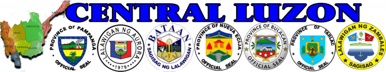
MAP OF CENTRAL LUZON

Central Luzon
Central Luzon, also known as Region III, is one of the regions of the Republic of the Philippines. The region contains the largest plain in the country. It is known as the “Rice Bowl of the Philippines” because it produces most of the country’s rice supply. The region has 7 provinces and these are: Aurora, Bataan, Bulacan, Nueva Ecija, Pampanga, Tarlac, and Zambales. Of the 13 cities in the region, the city of San Fernando in Pampanga is the regional center.
Central Luzon Region lies between Manila and northern Luzon. It is bounded by the Ilocos Region, Cordillera Administrative Region and Cagayan Valley Region in the north; National Capital Region, CALABARZON and Manila Bay in the south; South China Sea in the west; and the Philippine Sea in the east. The region experiences dry season from November to May and rainy season during the months of July to October.
Forty one percent of the region’s total land area is devoted to agricultural purposes with rice as the major crop. It produces one third of the country’s rice supply. Other crops of the region are corn, banana, fruits and vegetables. Forestland comprises 23% of its land area. Central Luzon is rich in timber and mineral resources. Both metallic and non metallic resources are found in the region. Copper, refractory chromites, gold and marble maybe extracted in the region. It has rich marine resources and accounts for the third largest aquaculture production in the Philippines.
Central Luzon is a major trading center of the country. The two former U.S. bases, the Clark Air Force Base in Pampanga and Subic Naval Base in Zambales, are now special economic zones. The region is also a major transportation terminal for products because of the presence of well-paved and extensive highways and roads linking all municipalities in the region. The region has adequate supply of electricity and potable water. Big markets, communication and recreational facilities, educational and financial institutions service the needs of the people in the region.
Located adjacent to the National Capital Region (NCR), the region has emerged as an alternative area for investment. The region has managed to overcome the effects of the Mount Pinatubo eruption in 1991 and is now considered as one of the highly developed regions of the Philippines.
